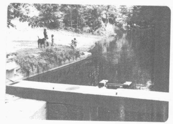
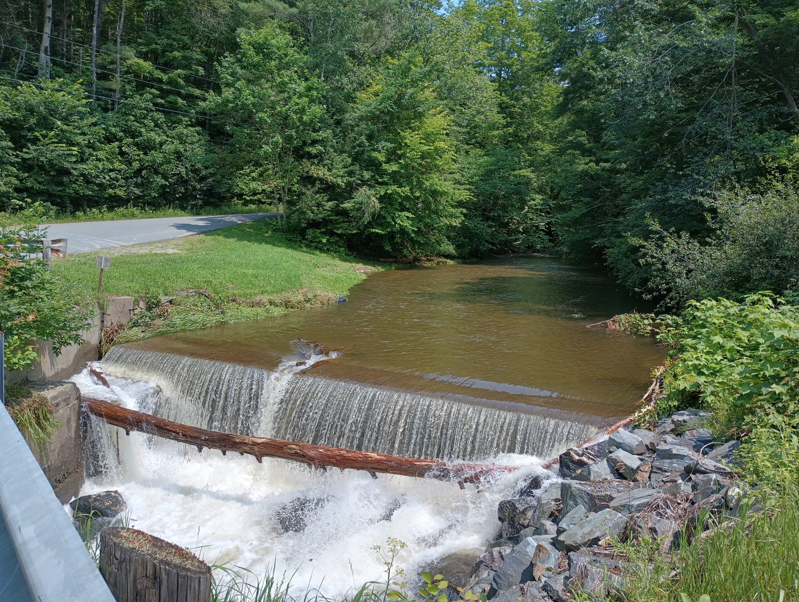
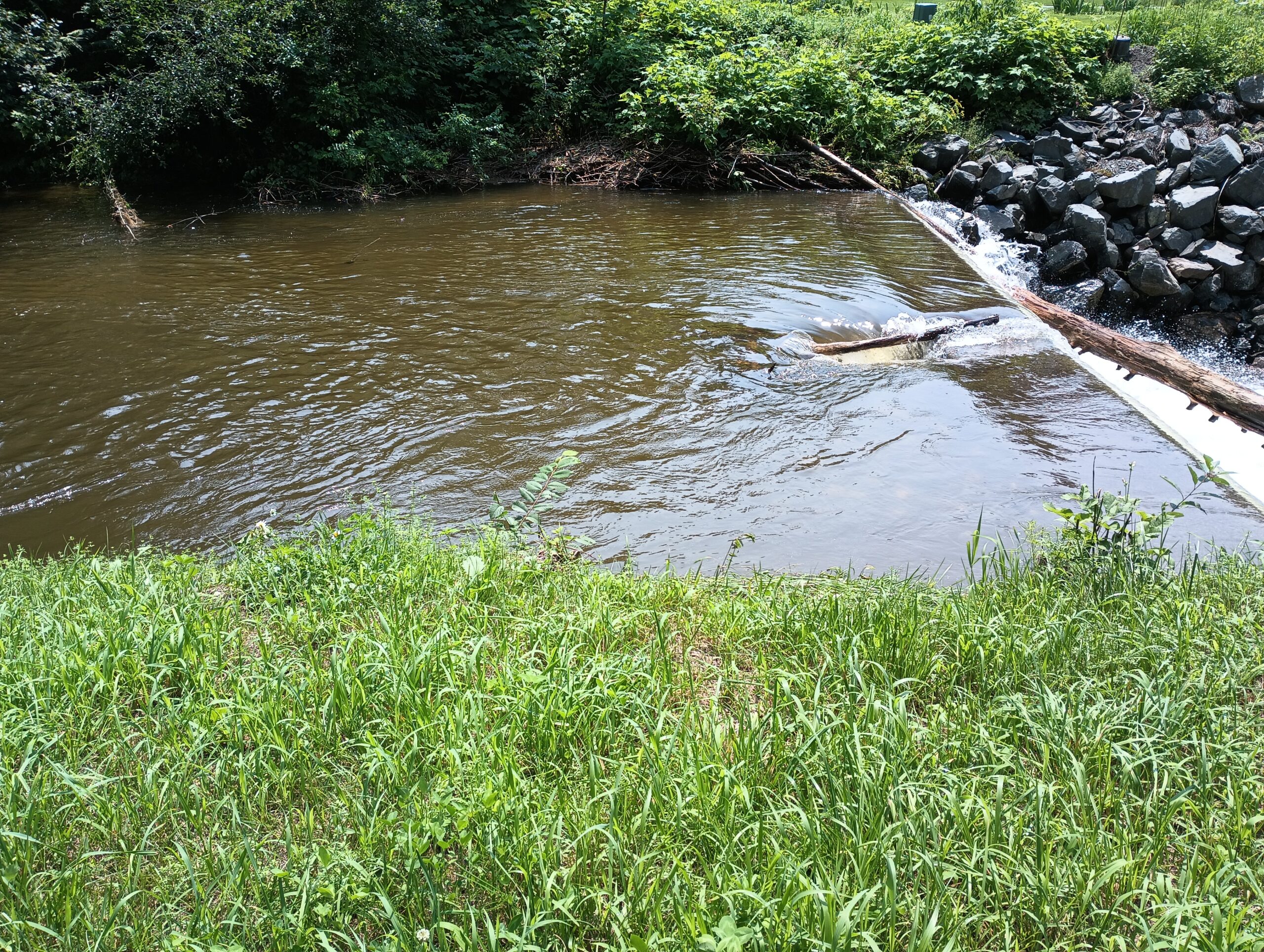
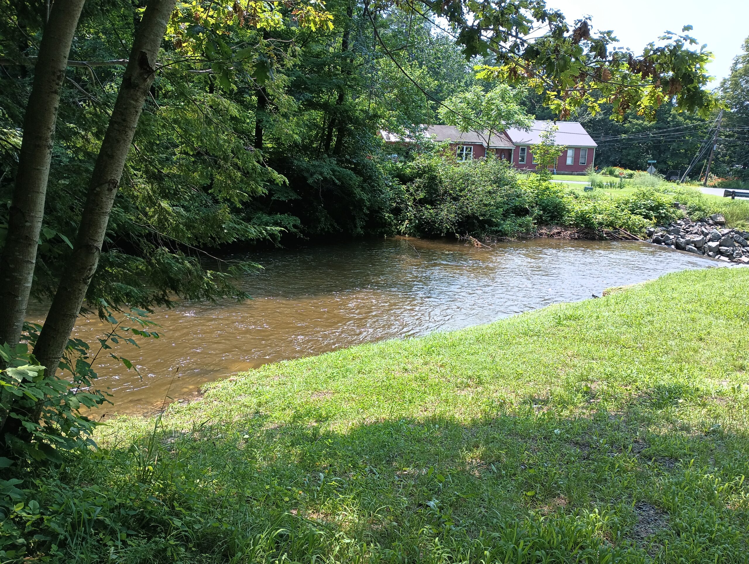
Conservation Commission Notes
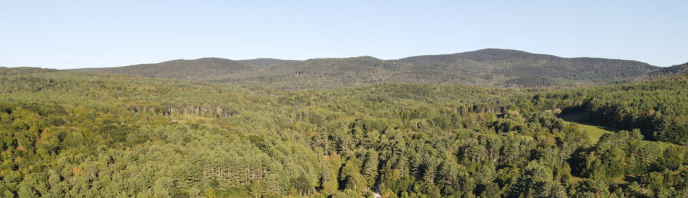
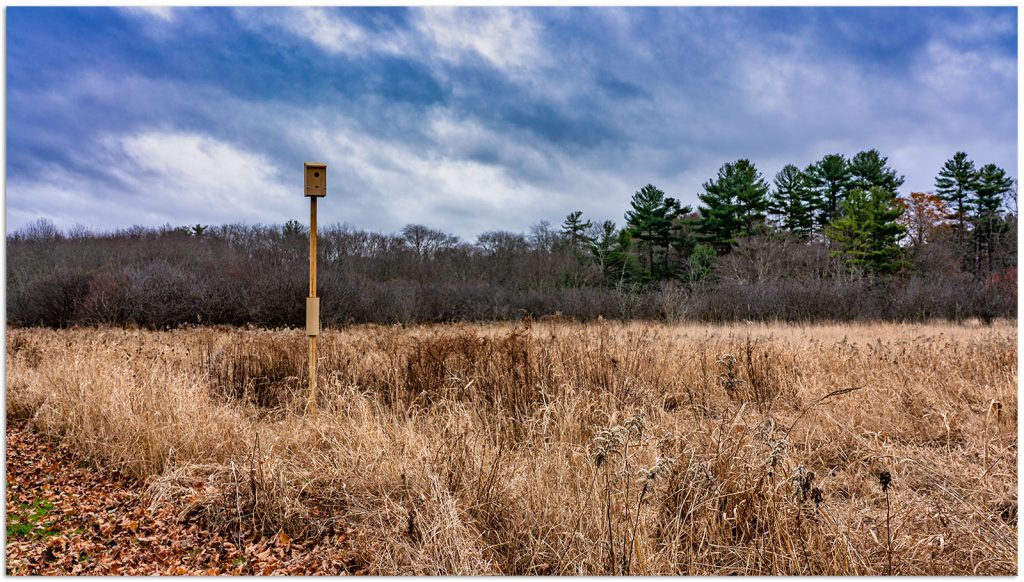
Historically in New England, the ponds above abandoned beaver dams eventually grew into grassy meadows, and Native American people created grasslands when they burned the land for agriculture. In more recent times fire suppression, human restrictions on beaver activities, natural forest succession, as well as human development have reduced grasslands habitat to less than 4% of the New Hampshire landscape. Consequently, natural grasslands are a rare sight in the state, yet 150 species of wildlife use open, grassy areas of fields and wildflowers to meet their needs for food, cover, and breeding. Grasslands of any size provide valuable habitat for wildlife in New Hampshire. And in today’s landscape they are comprised mostly of hayfields, pastures, fallow fields, and include airports, capped landfills, and croplands.
Some familiar grassland species include, to name just a few, American Kestrel, Bobolink, Northern Harrier, Blanding’s and Wood turtles, snakes, mammals, and monarch butterflies.
Two well-known species we see in Cornish are the American Kestrel and the Bobolink.
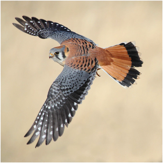
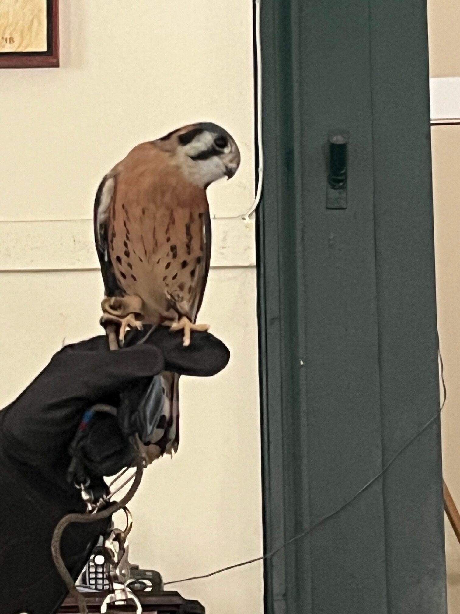
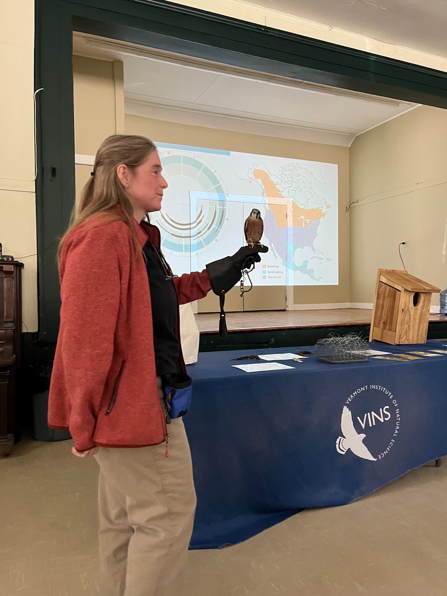
The American Kestrel is the smallest and most colorful of our three falcons, and the only raptor whose population is declining. In the summer it is often seen perched on telephone wires or poles at the edge of a field, or hovering in place as it hunts for its favorite prey, grasshoppers. They nest in tree cavities. The northern birds we see locally migrate the farthest, to southern US and Mexico each winter. Pesticide use in winter and breeding ranges, migration dangers, and lack of nesting sites near to grassland habitat have contributed to a 90% decline in this species in New Hampshire. Leaving tree snags and stumps in place, reducing pesticide use, and installing nest boxes are a few ways we can assist this small, but mighty raptor.
The male Bobolink, in its stunning black, white, and yellow plumage and its bubbling song is a welcome spring arrival. It is one of the longest distance migrants, flying 12,500 miles round trip each year from winter grounds in southern South America to breeding ranges in northern US states. This bird is in significant decline due to grassland habitat loss—they nest and feed on the ground, requiring uninterrupted fields of 5+ acres or more. They eat insects and seeds and produce only 1 brood per year. Early mowing (May-July) in fields where Bobolink are nesting can result in chick death and nest failure.
Without the work of farmers and other landowners, most grasslands would quickly revert to forest. Working to find a balance between farming needs and reducing negative impacts on wildlife is important. If you own uncultivated fields, a good wildlife management practice to encourage grassland nesters and users, is to keep the fields open by mowing in the fall, at least every 3-5 years to discourage tree and shrub growth. Focus land conservation efforts on large grasslands, of 25+ acres or more. When/if possible, mow a hayfield after August 1, when young birds have fledged, or ideally between August and October to also allow for late flowering natives. If earlier summer mowing of fields is required consider consulting with UNH Cooperative extension office at 603-862-3594, or NH Fish and Game 603-271-2461 to learn more about mowing techniques to reduce impact on breeding birds, and/or discuss the cost-share programs to offset the cost of implementing such mowing mitigation practices, or visit NH Audubon.